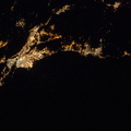
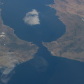
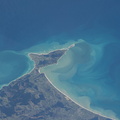
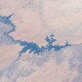
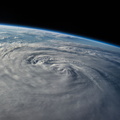
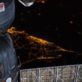
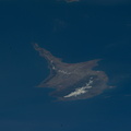
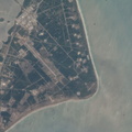
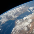
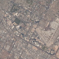
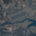
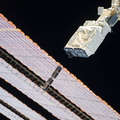
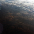
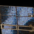
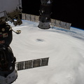
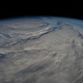
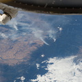
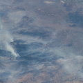
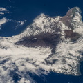
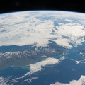
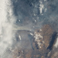
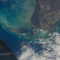
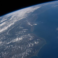
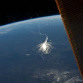
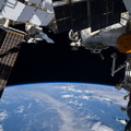
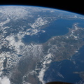
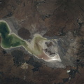
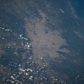
. Fires are set to clear patches of forest for agriculture, a process that reveals red-brown soils. A long line of new cleared patches snakes east from BR 163 towards the remote valley of the Rio Crepori. Extensive deforested areas in Brazil's state of Mato Grosso appear as tan areas across the top of the image. Fires show the advance of deforestation into the state of Pará, the area shown in most of this view. Pará is now second after Mato Grosso in terms of deforestation acreage.")
WIKIARCHIVES.SPACE
The Human Spaceflight Archive


Information
- Taken in
- Space
- Author
- NASA
- Description
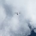
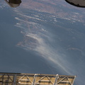
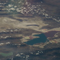
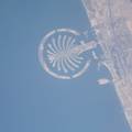
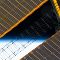
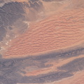
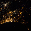
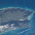
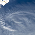
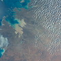
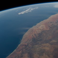
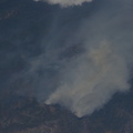
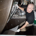
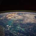
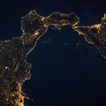
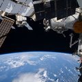
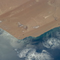
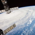
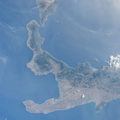
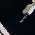
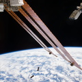
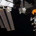
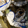
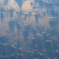
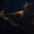
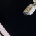
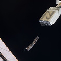
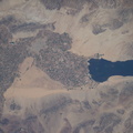
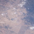
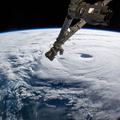
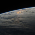
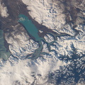
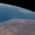
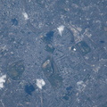
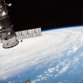
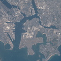
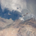
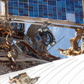
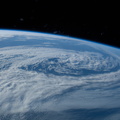
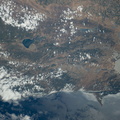
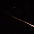
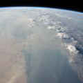
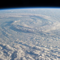
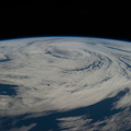
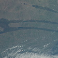
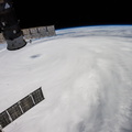
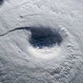
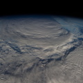
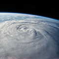
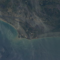
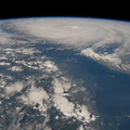
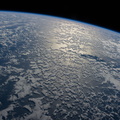
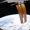
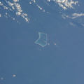
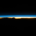
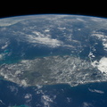
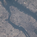
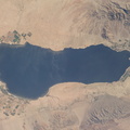
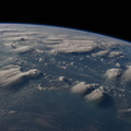
- On an unusually cloud-free day at the height of the dry season in Amazonia, several fires were burning, giving rise to a broad smoke pall easily seen from the International Space Station, photographed by an Expedition 40 crew member. Parts of the space station appear along the margins of the image. Against the backdrop of the dark green rainforest, several fires follow the major highway BR 163 (lower center of the image to the top left). Fires are set to clear patches of forest for agriculture, a process that reveals red-brown soils. A long line of new cleared patches snakes east from BR 163 towards the remote valley of the Rio Crepori. Extensive deforested areas in Brazil's state of Mato Grosso appear as tan areas across the top of the image. Fires show the advance of deforestation into the state of Pará, the area shown in most of this view. Pará is now second after Mato Grosso in terms of deforestation acreage.
- Created on
- Tuesday 19 August 2014
- Albums
- ISS (WIP) / EXPEDITIONS / EXPEDITION 40
- Source link
- https://www.flickr.com/photos/nasa2explore/albums/72157631560566351/
- Visits
- 48
- Rating score
- no rate
- Rate this photo
- License
- CC BY-NC-ND
- Modified by WikiArchives
- No (original)
- Downloads
- 0
EXIF Metadata
NIKON CORPORATION NIKON D3S
- Make
- NIKON CORPORATION
- Model
- NIKON D3S
- DateTimeOriginal
- 2014:08:19 15:25:35
- ApertureFNumber
- f/13.0
Powered by Piwigo