
WIKIARCHIVES.SPACE
The Human Spaceflight Archive


Information
- Taken in
- Space
- Author
- NASA
- Description
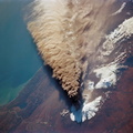
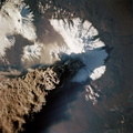
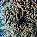
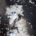
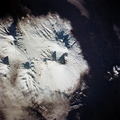
- The location of Denver, Colorado - on the western edge of the High Plains, at the junction of the South Platte River and Clear Creek east of the Rocky Mountains - is graphically displayed. Mount Evans and its surroundings are already covered by snow on October 8, 1994. Clear Creek was one of the first areas in the Rockies where gold was discovered by American prospectors in the 19th century, which led to the settlement of Denver. The growth of 20th century Denver, dominantly to the west and south, is apparent. Stapleton Field, close to downtown Denver, is being replaced by the new regional airport well out on the plains.
- Created on
- Albums
- US SPACE PROGRAM / SPACE SHUTTLE / MISSIONS / STS-68 / Mission Photos (Edited)
- Source link
- https://www.flickr.com/photos/nasa2explore/9734162620/in/album-72157635500240228/
- Visits
- 77
- Rating score
- no rate
- Rate this photo
- License
- CC BY-NC
- Modified by WikiArchives
- No (original)
- Downloads
- 0
Powered by Piwigo