
WIKIARCHIVES.SPACE
The Human Spaceflight Archive


Information
- Taken in
- Kennedy Space Center
- Auteur
- NASA
- Description
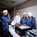
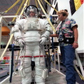
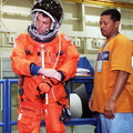
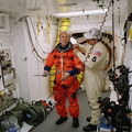
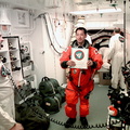
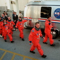
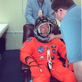
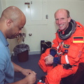
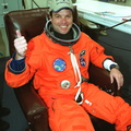
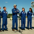
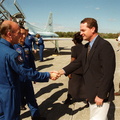
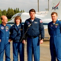
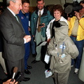
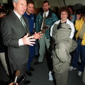
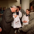
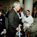
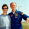
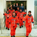
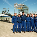
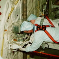
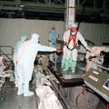
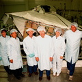
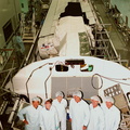
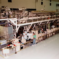
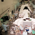
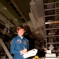
- In the Operations and Checkout Building, STS-99 Commander Kevin Kregel waves as he suits up during final launch preparations. Known as the Shuttle Radar Topography Mission, liftoff is scheduled for 12:47 p.m. EST from Launch Pad 39A. The SRTM will chart a new course, using two antennae and a 200-foot-long section of space station-derived mast protruding from the payload bay to produce unrivaled 3-D images of the Earth's surface. The result of the Shuttle Radar Topography Mission could be close to 1 trillion measurements of the Earth's topography. Besides contributing to the production of better maps, these measurements could lead to improved water drainage modeling, more realistic flight simulators, better locations for cell phone towers, and enhanced navigation safety. The mission is expected to last about 11days. Endeavour is expected to land at KSC Friday, Feb. 11, at 4:55 p.m. EST.
- Erstallt den
- Méinden 31 Januar 2000
- Albumen
-
Locations / OSM-4.915832801313164
US SPACE PROGRAM / SPACE SHUTTLE / MISSIONS / STS-99 / Training and Pre-Flight
- Source link
- https://science.ksc.nasa.gov/gallery/photos/2000/
- Visitten
- 34
- Bewäertungs-Stand
- nach keng Bewäertung
- Foto bewäerten
- License
- CC BY-NC-ND
- Modified by WikiArchives
- No (original)
- Downloads
- 0
Ennerstetzt vun Piwigo