
WIKIARCHIVES.SPACE
The Human Spaceflight Archive


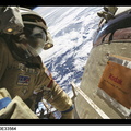


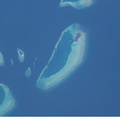


Information
- Taken in
- Space
- 작성자
- NASA
- Description
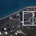
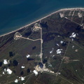
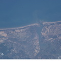
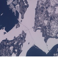
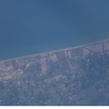
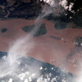
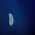
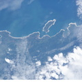
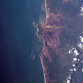
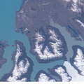
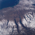
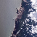
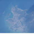
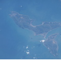
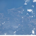
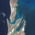
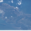
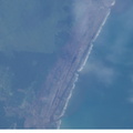
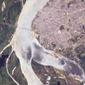
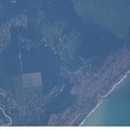
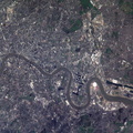
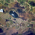
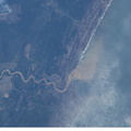
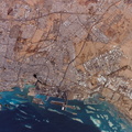
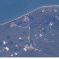
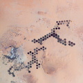
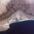
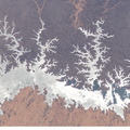
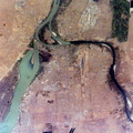
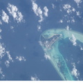
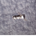
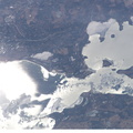
- One of a series of post-tsunami digital still images photographed from the International Space Station on January 13, 2005. This image, centered at 2.9 degrees north latitude and 72.9 degrees east longitude, and one of several showing the Maldives, shows an area just north of the populated island of Hulhudheli. Information is sketchy on how much damage was actually sustained in the region, but NASA scientists studying the ISS imagery say that coral reef likely mitigated the damage level. Part of the restoration effort, they say, could include great amounts of sand being brought in.
- 생성일
- 목요일 13 1월 2005
- 앨범
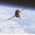
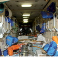
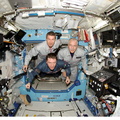
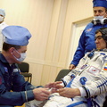
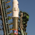
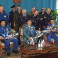
- ISS (WIP) / EXPEDITIONS / EXPEDITION 10
- Source link
- https://www.flickr.com/photos/nasa2explore/albums/72157634802502630
- 방문자
- 22
- 평점
- 평점 없음
- 이 사진 평가
- License
- CC BY-NC-ND
- Modified by WikiArchives
- No (original)
- 다운로드
- 1
Powered by Piwigo