, in a mission ranging from the tropical rain forests of Central America to frigid Antarctica.")
WIKIARCHIVES.SPACE
The Human Spaceflight Archive
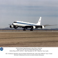
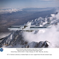
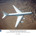
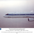
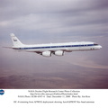
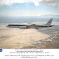
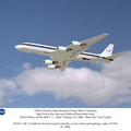
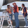
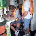
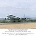
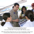
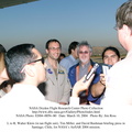
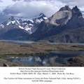
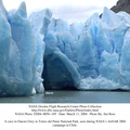
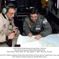
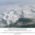
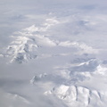
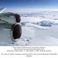
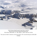
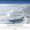
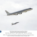
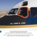
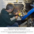
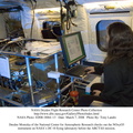
This is a photograph from the left side of the aircraft as NASA's DC-8 does an AirSAR 2004 research "line" over Honduras. AirSAR 2004 is a three-week expedition by an international team of scientists that will use an all-weather imaging tool, called the Airborne Synthetic Aperture Radar (AirSAR), in a mission ranging from the tropical rain forests of Central America to frigid Antarctica.


Information
- Taken in
- Edwards Air Force Base
- Egilea
- NASA
- Azalpena
-
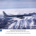
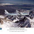
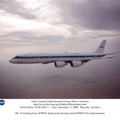
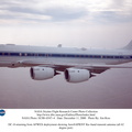
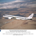
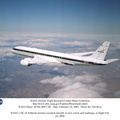
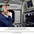
This is a photograph from the left side of the aircraft as NASA's DC-8 does an AirSAR 2004 research "line" over Honduras. AirSAR 2004 is a three-week expedition by an international team of scientists that will use an all-weather imaging tool, called the Airborne Synthetic Aperture Radar (AirSAR), in a mission ranging from the tropical rain forests of Central America to frigid Antarctica.
- Sortuta
- Asteartea 2 Martxoa 2004
- Albumak
- US SPACE PROGRAM / AERONAUTICS RESEARCH / DC-8
- Source link
- https://www.dfrc.nasa.gov/Gallery/Photo/DC-8/index.html
- Bisitak
- 14
- Kalifikazioa
- baloratu gabe
- Balioestea
- License
- Public Domain
- Modified by WikiArchives
- No (original)
- Deskargak
- 1
Garatzailea: Piwigo