WIKIARCHIVES.SPACE
The Human Spaceflight Archive

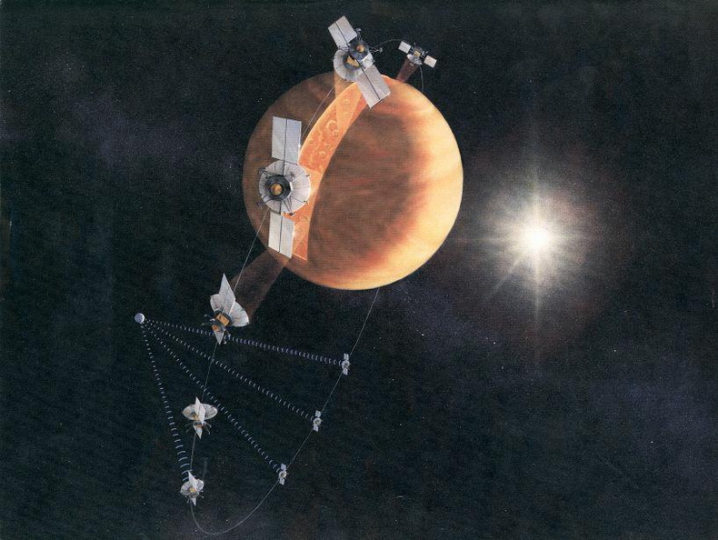
An artist's concept of the Magellan spacecraft making a radar map of Venus.
Information
- Taken in
- Other
- Author
- NASA/JPL-Caltech
- Description
-
An artist's concept of the Magellan spacecraft making a radar map of Venus.
Magellan mapped 98 percent of Venus' surface at a resolution of 100 to 150 meters (about the length of a football or soccer field), using synthetic aperture radar, a technique that simulates the use of a much larger radar antenna. It found that 85 percent of the surface is covered with volcanic flows and showed evidence of tectonic movement, turbulent surface winds, lava channels and pancake-shaped domes. Magellan also produced high-resolution gravity data for 95 percent of the planet and tested a new maneuvering technique called aerobraking, using atmospheric drag to adjust its orbit.
The spacecraft was commanded to plunge into Venus' atmosphere in 1994 as part of a final experiment to gather atmospheric data.
- Created on
- Albums
- US SPACE PROGRAM / PROBES / VENUS / MAGELLAN / Concept Art
- Source link
- https://photojournal.jpl.nasa.gov
- Visits
- 33
- Rating score
- no rate
- Rate this photo
- License
- Public Domain
- Modified by WikiArchives
- No (original)
- Downloads
- 0
Powered by Piwigo


