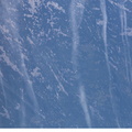
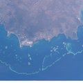
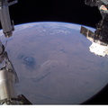
 shows the city and its suburbs nestled between the Wasatch Front and the Great Salt Lake. The core of Interstate Highway 15 runs North-South through the valley, with suburbs arrayed east and west of the highway. An important issue facing Salt Lake City’s growing population is preservation and allocation of water resources. Utah is in its fifth year of drought. One of the most dramatic effects of the drought visible in this picture is the fact that the lake levels are so low that Antelope Island is separated from the mainland by dry lakebed. Expansive productive wetlands occur where freshwater flows from the Wasatch Range and into the lake. The southern end of this network of wetlands can be seen in the image.")
WIKIARCHIVES.SPACE
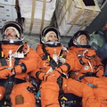
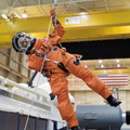
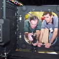
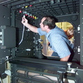
The Human Spaceflight Archive


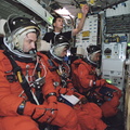


Information
- Taken in
- Space
- 작성자
- NASA
- Description
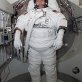
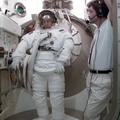
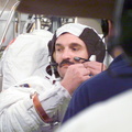
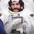
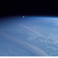
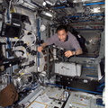
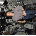
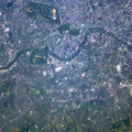
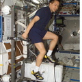
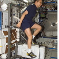
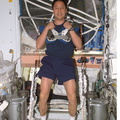
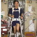
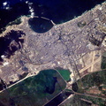
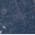
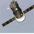
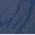
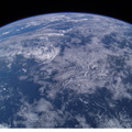
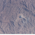
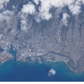
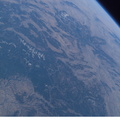
- This regional view of Salt Lake City, Utah taken by an Expedition 7 crewmember onboard the International Space Station (ISS) shows the city and its suburbs nestled between the Wasatch Front and the Great Salt Lake. The core of Interstate Highway 15 runs North-South through the valley, with suburbs arrayed east and west of the highway. An important issue facing Salt Lake City’s growing population is preservation and allocation of water resources. Utah is in its fifth year of drought. One of the most dramatic effects of the drought visible in this picture is the fact that the lake levels are so low that Antelope Island is separated from the mainland by dry lakebed. Expansive productive wetlands occur where freshwater flows from the Wasatch Range and into the lake. The southern end of this network of wetlands can be seen in the image.
- 생성일
- 토요일 14 6월 2003
- 앨범
- ISS (WIP) / EXPEDITIONS / EXPEDITION 07
- Source link
- https://www.flickr.com/photos/nasa2explore/albums/72157635168177541/
- 방문자
- 74
- 평점
- 평점 없음
- 이 사진 평가
- License
- Public Domain
- Modified by WikiArchives
- No (original)
- 다운로드
- 2
Powered by Piwigo