
WIKIARCHIVES.SPACE
The Human Spaceflight Archive


Information
- Taken in
- Space
- Forfatter
- NASA
- Beskrivelse
- The northwest corner of Houston, Texas, with the major highways of Interstate 610 looping around the city, Interstate 10 moving east to west, and U.S. 290 heading northwest, are pictured from the International Space Station as it orbited 258 miles above the Lone Star state.
- Oprettet den
- Søndag 13 Februar 2022
- Albummer
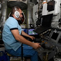
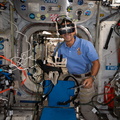
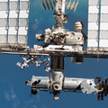
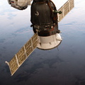
- ISS (WIP) / EXPEDITIONS / EXPEDITION 66
- Source link
- https://www.flickr.com/photos/nasa2explore/albums/72157719745553737
- Besøg
- 35
- Bedømmelse
- ingen bedømmelse
- Bedøm dette fotografi
- License
- CC BY-NC-ND
- Modified by WikiArchives
- No (original)
- Downloads
- 0
EXIF-metadata
NIKON CORPORATION NIKON D5
- Make
- NIKON CORPORATION
- Model
- NIKON D5
- DateTimeOriginal
- 2022:02:13 21:59:31
- ApertureFNumber
- f/14.0
Drives af Piwigo